Projects

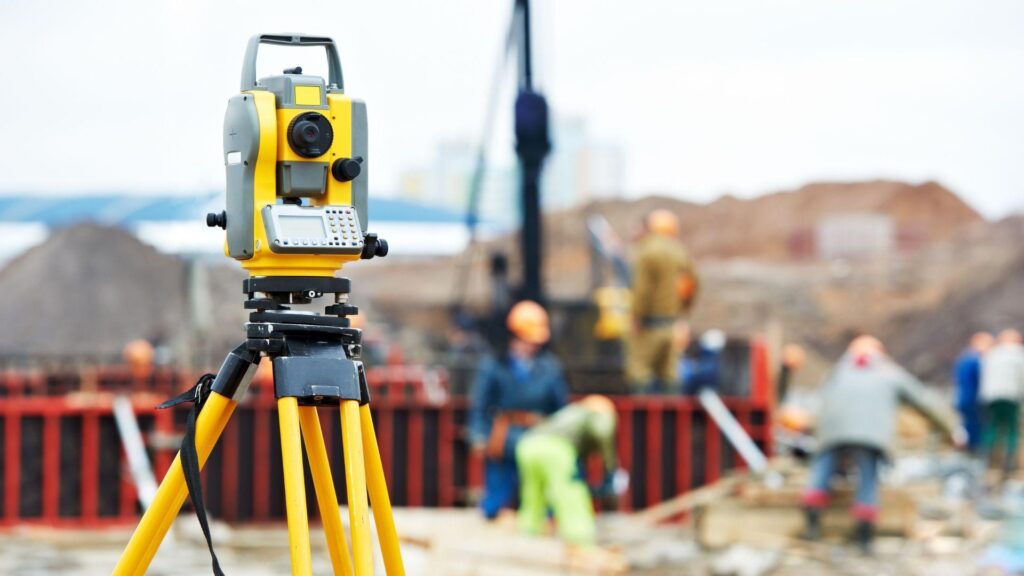
Boundary Survey: Precision Land Mapping
Our boundary survey project involves accurately mapping property lines using advanced surveying techniques and technology, ensuring compliance with legal standards and facilitating property transactions and development.

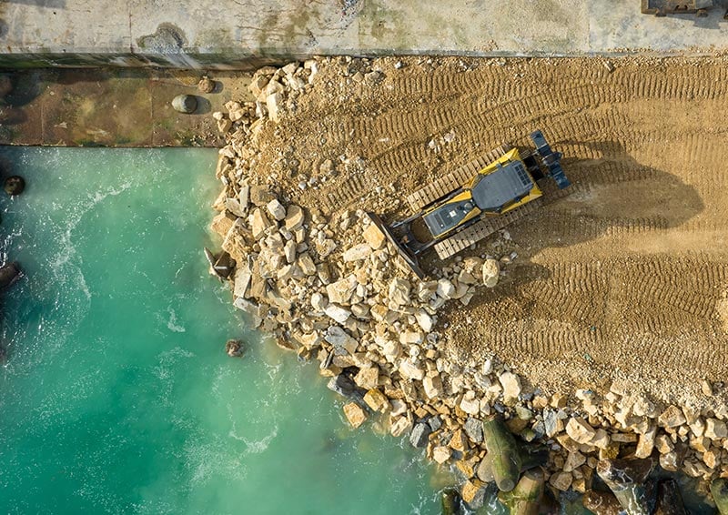
Louisiana Coastal Protection Initiative: Erosion Mitigation and Habitat Preservation
As part of the Louisiana Coastal Protection Initiative, we’re implementing engineering solutions such as barrier island restoration, marshland preservation, and shoreline stabilization to combat coastal erosion and protect critical habitats.

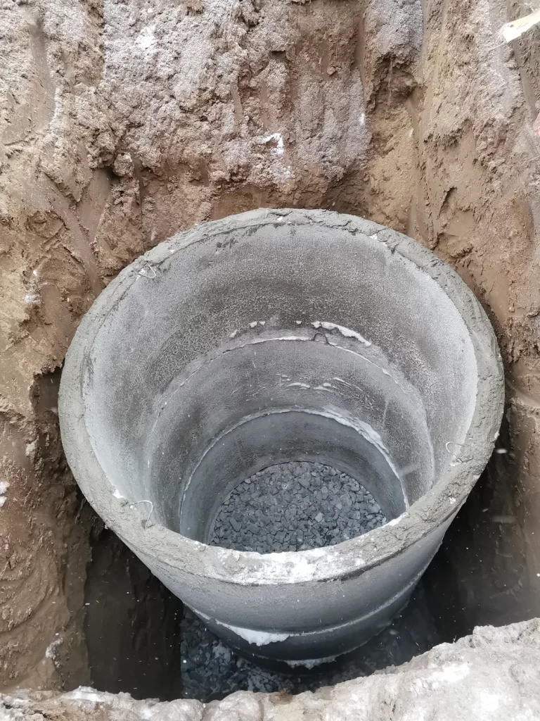
Drainage Improvement Project: Flood Risk Reduction
Our drainage improvement project aims to enhance stormwater management systems through upgrades like retention ponds, culvert improvements, and green infrastructure, reducing flood risk and improving community resilience.
